


MBARI Collaborates with 3D at Depth
Partnership News / 20/06/2023
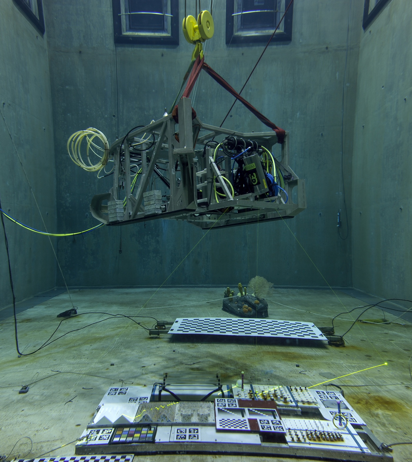
MBARI Collaborates with 3D at Depth on a New Detailed Design of the Next Generation Subsea Lidar Customized for Scientific Research.
READ MORE
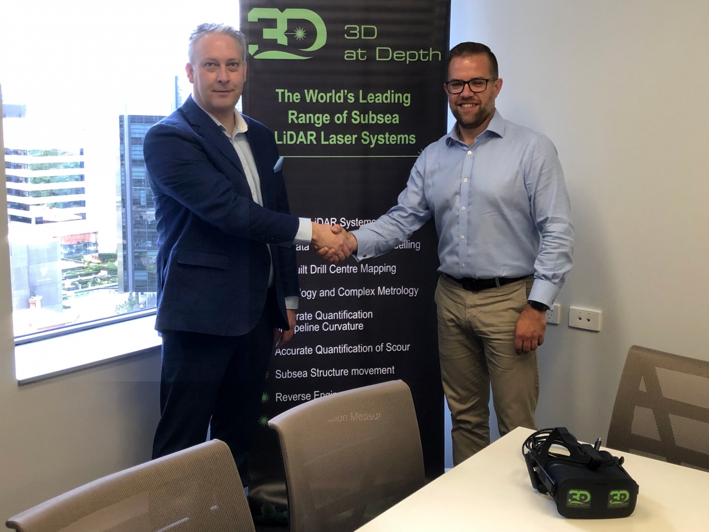
3D at Depth Announces Asia Pacific Partnership with Subsea Technology & Rentals
Partnership News / 12/02/2019
Agreement Provides Bundled Turnkey Solution to Optimize Asset Management and Increase Workflow Efficiencies as Company reaches 400th Metrology
READ MORE
3D at Depth Expands Underwater Survey Services
Partnership News / 19/12/2018
3D at Depth Expands Underwater Survey Services
Portfolio Helps Clients Optimize Asset Management and Increase Workflow Efficiencies as Company Announces 400th Metrology
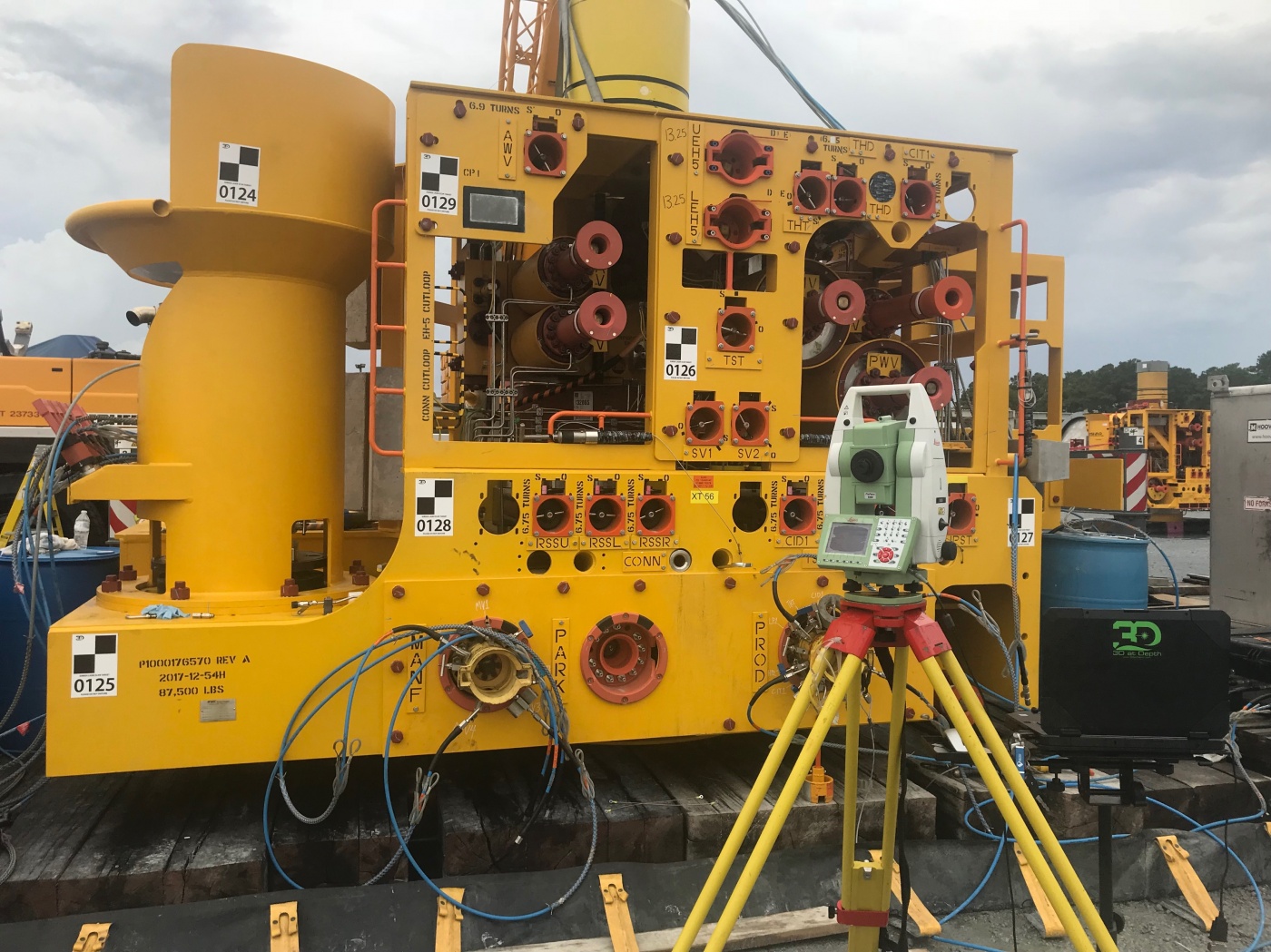
Longmont, CO – 12, 18, 2018 – 3D at Depth Inc., the world's leading expert in subsea laser LiDAR (SL) technology and 3D data visualization solutions, announced today the expansion of several global office locations and the launch of a new portfolio of services designed to support cohesive workflow efficiencies for offshore oil field design through decommissioning. The new line includes: terrestrial dimensional control to support subsea data collection workflows; subsea tooling design solutions; remote sensing, and real-time LiDAR data collection. These new services will compliment 3D at Depth's existing portfolio of solutions and deliver additional 3D insight to measure, map, analyze and manage more efficiently. Over the past few years, the Company’s unique expertise in subsea laser LiDAR (SL) technology and 3D data collection and visualization has advanced underwater integrity programs by providing precise, repeatable, millimetric, 3D point clouds that allow clients to “Measure in 3D and Manage in 4D.”
READ MORE
3D at Depth Completes 300 Offshore LiDAR Metrologies
Partnership News / 30/01/2018
End Users Continue to Embrace Greater Value from Long Range, Touchless Subsea LiDAR Surveys
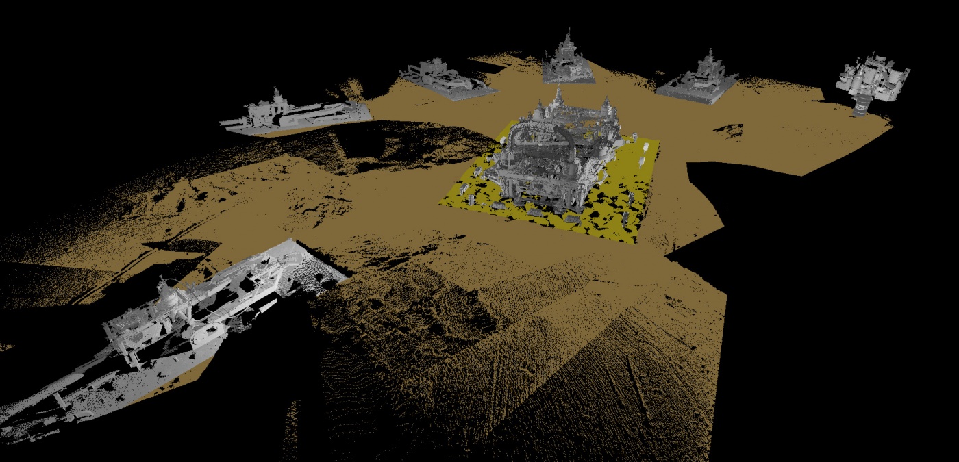
LONGMONT, Colo., Jan. 30, 2018 (GLOBE NEWSWIRE) -- 3D at Depth Inc., a global provider of advanced subsea LiDAR (SL) systems and survey support services, announced today the company has completed its 300th subsea LiDAR spool metrology. The subsea LiDAR measurement, conducted offshore within the Mediterranean Sea, covered 8 long spool metrologies with lengths greater than 90m and was completed in 24 hours...
READ MORE
3D at Depth Partners with iQ3Connect to Deliver a Subsea LiDAR Virtual Reality Data Platform
Partnership News / 05/12/2017
Immersive Communication Tool Ushers in a New Era of 3D Subsea Survey Visualization
BOULDER, Colo., Dec. 05, 2017 (GLOBE NEWSWIRE) -- 3D at Depth Inc., a global provider of advanced subsea LiDAR systems and solutions, has partnered with iQ3Connect Inc. (iQ3) to deliver a new data visualization tool to help clients build, maintain, map and monitor subsea assets, environments and resources. The partnership leverages the unique features of 3D at Depth’s subsea LiDAR data and the power of iQ3’s innovative augmented reality (AR) and virtual reality (VR) platform to transform the value of offshore survey data.
READ MORE
3D at Depth Expands Senior Team to Drive Growth and Innovation
Partnership News / 24/10/2017
Dual Appointments Will Enable Company to Meet Increased Demand for Global Subsea LiDAR Services
BOULDER, Colo., Oct. 24, 2017 (GLOBE NEWSWIRE) -- 3D at Depth, a global provider of advanced subsea LiDAR systems and solutions, today announces the appointment of Cory Moore as Global Offshore Operations Manager and Ian Roberts as Senior Mechanical Design Engineer.
READ MORE