
Science and Research
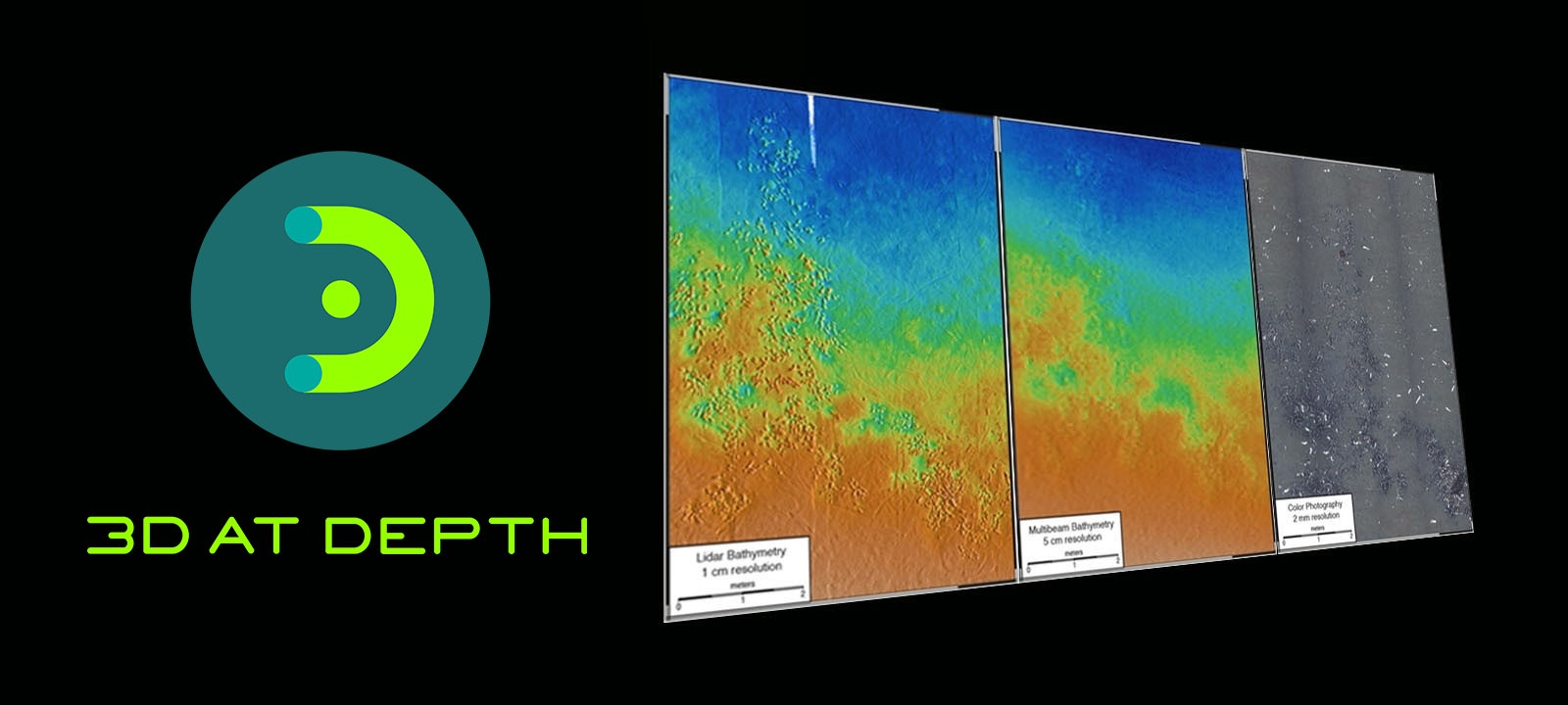
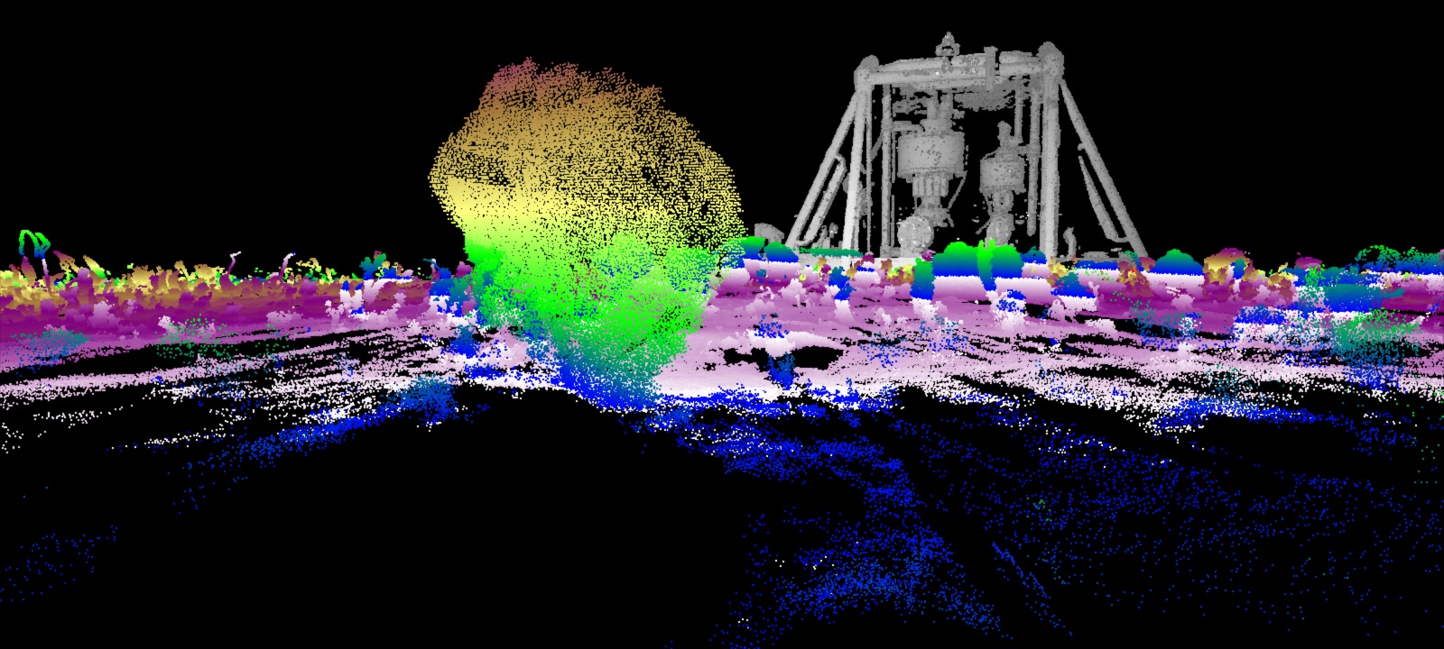
For scientific and marine research underwater surveys, subsea LiDAR laser technology provides optimal value in terms of accuracy, documentation and costs over traditional acoustic 3D multibeam or sonar technology. The unique features of subsea LiDAR (SL) underwater lasers include touchless, long range 3D scanning capability with configurable beam control. For underwater areas that are heavily congested or sensitive marine habitats, SL laser systems easily integrate and mount on a range of platforms including: shallow water surface vessels, remotely operated vehicles (ROVs), autonomous underwater vehicles (AUVs), and diver systems. This “Dynamic LiDAR” moving platform solution can survey areas with complex and rugged terrain with low impact to the surrounding environment. (The ability to efficiently map a cross swath resolution of <1cm renders highly accurate 3D models of seabed topography, structures and corals.) Every subsea LiDAR SL laser scans delivers precise, repeatable, millimetric, 3D point cloud data sets that include reflectivity. These accurate LiDAR data sets allow for an additional level of information, especially important in survey documentation of corals, atypical seafloor terrain or biologically sensitive areas.
Applications include:
3D at Depth provides additional support for scientific and research survey programs through our Survey Support Services.
Offerings include:
3D at Depth recently developed a dual head wide swath solution for the Monterey Bay Aquarium Research Institute (MBARI), a private, non-profit center for ocean research and technology development. The solution was developed to help measure and understand changes in the oceans through seafloor mapping. See our case study below.
Applications include:
- Baseline surveys and long term monitoring
- Marine growth volumetric evaluation
- Small seafloor cracks and defects
- Thermal Vents
- Coral evaluations
- Seabed markings such as clam trails
- Seafloor node inspections
- Subsea landslides
- Seafloor topography
- Seafloor hydrocarbon seepage
3D at Depth provides additional support for scientific and research survey programs through our Survey Support Services.
Offerings include:
- 3D Data Collection, Management, Visualization and Analysis Services
- Virtual Reality Immersive Collaboration Platform
- Advanced Engineering and Design
- Survey Support Integration Services
3D at Depth recently developed a dual head wide swath solution for the Monterey Bay Aquarium Research Institute (MBARI), a private, non-profit center for ocean research and technology development. The solution was developed to help measure and understand changes in the oceans through seafloor mapping. See our case study below.
Environmental Surveys
Baseline Audits and Long Term Monitoring

Hydrography and Geophysics are central to any site investigation or seabed mapping project. Securing accurate and precise 3D data sets to assess, measure, evaluate, document and monitor are important to the success of any underwater program. measure subsea topography, assets and the marine environment are important. From establishing baseline audits to long term documentation and monitoring, our subsea LiDAR SL systems provide touchless, log range – up to 45 meter 3D scans with low impact to the surrounding environment.
One of MBARI's highest priorities is to measure and understand change in the oceans through seafloor mapping. In 2013, MBARI initiated a custom project with 3D at Depth to develop a deepwater 3D LiDAR solution for seabed mapping. MBARI developed the INS interfaces with a fully integrated remote sensing package: sonar, HD Video, photogrammetry all driven from a single INS/DVL engine. The success of the prototype low altitude survey system has allowed MBARI and 3D at Depth to define the requirements for efficient 1-cm-scale swath mapping in the deep ocean. The initial testing and use of the new Dynamic LiDAR was part of an ROV-mounted survey system but ultimately MBARI plans to field the low altitude survey capability on autonomous platforms.
David Caress, Principal Investigator for MBARI's Ocean Imaging project, states "Our desire to achieve 1-cm-scale surveys of areas with complex and rugged terrain requires generating precise bathymetry over ranges from 2-m to 20-m, while our need for efficient use of expensive platforms requires a scan rate and a field of view comparable to other swath mapping sensors. Achieving this performance with a LiDAR will enable us to make fundamentally new observations in the deep ocean in support of our benthic ecology and marine geology research programs."
High-Accuracy Bathymetry System
MBARI Dual Head Swath Solution


