


Marine and Underwater Geophysical Survey Services
Optimized Surveys to Support Nearshore, Inshore, and Offshore Deepwater Development
Marine and Underwater Geophysical Survey Services
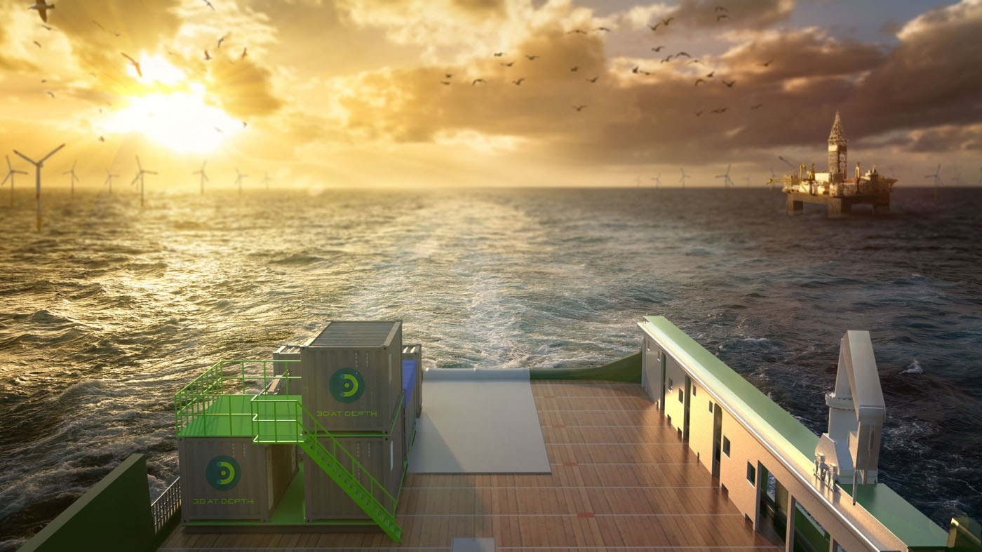
The Geophysical Survey Service division is supported by a team of experienced LiDAR experts, 3D data specialists, geophysical, and hydrographic professionals providing a multi-disciplined approach to guide, identify and analyze data acquisition initiatives across survey campaigns. The team complements the Company’s patented Subsea LiDAR (SL) laser technology and state-of-the-art innovations including 3D at Depth’s comprehensive inspection and survey solution to support survey projects for offshore wind farms, pipeline routes, environmental site surveys, offshore hydrocarbon projects, and civil engineering survey
The Range of Services includes:
SL4
The Range of Services includes:
- Rig and platform site surveys
- Geohazard surveys
- Wind farm site surveys
- Marine Habitat survey
- Pre-engineering surveys
- Clearance surveys including UXO
- Ice gouge surveys
- Multibeam echosounder surveys in shallow and deep water
- Pre-and post-lay Pipeline route surveys
- Deepwater site developments
- LNG and FPSO offloading facilities
- Marine archaeology and cultural heritage sites
SL4