


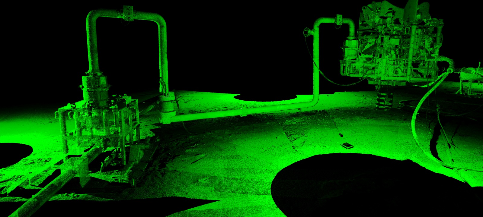


Subsea LiDAR (SL) Survey Services
Our Subsea LiDAR Survey Support Services optimize underwater survey campaigns through a comprehensive range of client deliverables designed to enhance workflow efficiencies, support engineering and analysis and provide insight into long term asset and environment integrity. From data collection and processing, through visualization and analysis, clients can reduce risk, increase survey efficiencies and extract greater insight from their underwater 3D survey data. One tool, multiple applications with 3D data delivered in a cohesive industry standard format. 3D at Depth’s offshore survey support team also provides expertise in the following areas: Inertial navigation, online survey operations. legacy 3D acoustic data collection and LBL products.
- 1:1 3D Scale Models
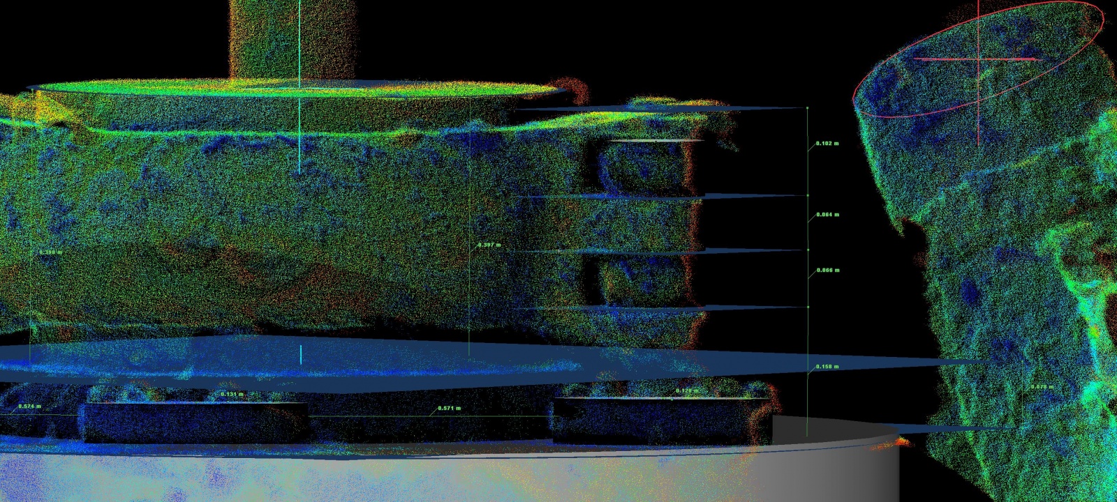
- Measure in 3D and Manage in 4D
- Export and integrate into any existing GIS systems or CAD based platform
- Deliver near real time access
- Reduce risk and increase efficiences across the subsea survey value chain
Survey Support Services
Measure in 3D, Manage in 4D
DOWNLOAD BROCHURE
